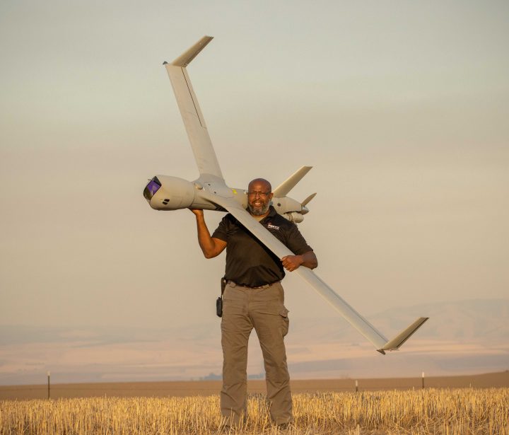
End-to-end technologies for collecting, processing and distributing information
Our Family of Systems combine the most advanced Uncrewed Air Vehicles with robust payloads, powerful software and trusted on-site or remote services to empower you with vital information.
Who We Serve
Customer Success Is Our Success
Regulating IUU Fishing and Securing EEZ
Exclusive Economic Zone (EEZ) surveillance and enforcement has become a top priority for the USCG and partner navies…
Read More »Demonstrating True Interoperability with RQ-21A Blackjack
What the RQ-21 brings to the fight is a smaller RCS (Radar Cross Section) with a smaller footprint…
Read More »Combatting the flow of illicit Substances With USCG
The need to increase USCG National Security missions combating the flow of illicit contraband and dismantling transnational criminal organizations.
Read More »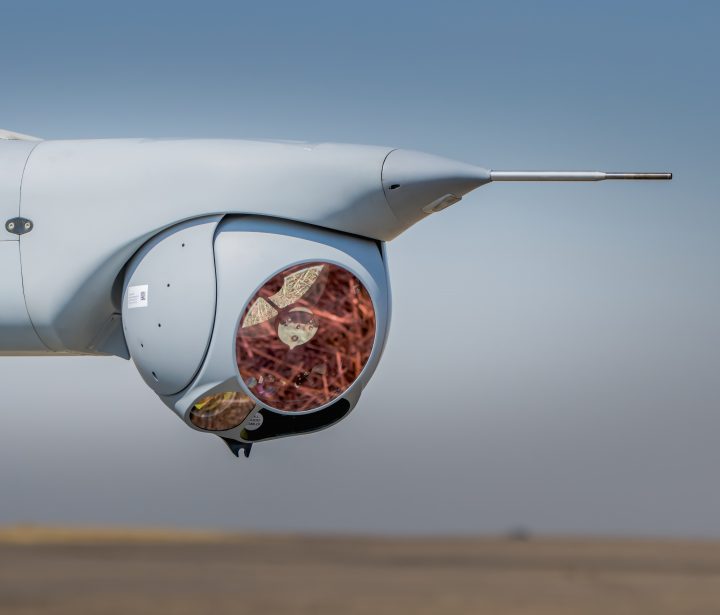
The future of autonomy is built on experience
With more than 1.4 million operational flight hours over land, at sea, and around the globe, covering more than 30 international customers, Insitu is a trusted partner for uncrewed aerial systems worldwide.
Latest Stories
We provide actionable intelligence
that can save lives & change
the course of history
Insitu Pacific’s Uncrewed Next-gen Sensors Demonstrated at U.S. Army Exercise
Insitu Pacific demonstrated next generation sensor capabilities and autonomous technologies in California as part of the U.S. Army’s Project Convergence 2022 late last year.
Read More »Insitu Announces its High Seas, Long Endurance Integrator VTOL Uncrewed Aircraft System at Navy League’s Sea-Air-Space Global Maritime Expo
Integrator VTOL launches vertically on ships or land without sacrificing payload capacity or endurance.
Read More »Insitu Sets Company Record for Longest Flight at 25.5 hours with its Integrator Uncrewed Aircraft System
Insitu, A Boeing Company, recently set a company record for the longest duration flight with a 25.5-hour sortie with its Integrator Uncrewed Aircraft System (UAS) on an operational mission.
Read More »